Railway Map of India
Book Details
• Publisher: Surveyor General of India
• Language: English
• Published Year: 1997
• Dimensions: 26 x 15 cm
• Size: 3 ft 6 in (Approx.)
• Book Condition: Used – Good
• Condition Note: Map is in good condition
• Availability: In Stock
About the Book
This official Map of India published by the Surveyor General of India provides a detailed geographical representation of the country. Produced by India’s national mapping authority, the map reflects accurate cartographic information and serves as a reliable reference for understanding the country’s physical and administrative layout.
The map typically includes important geographical features such as states and union territories, major cities, rivers, mountain ranges, transportation routes, and national boundaries. Such maps are widely used for educational purposes, travel planning, geographic study, and general reference.
Survey of India publications are known for their precision and authority in cartography. This map represents the long-standing tradition of scientific mapping and geographic documentation carried out by the Survey of India.
It is useful for students, researchers, travelers, educators, and anyone interested in the geographical structure and administrative divisions of India.
Product Information
Product Information
Shipping & Returns
Shipping & Returns
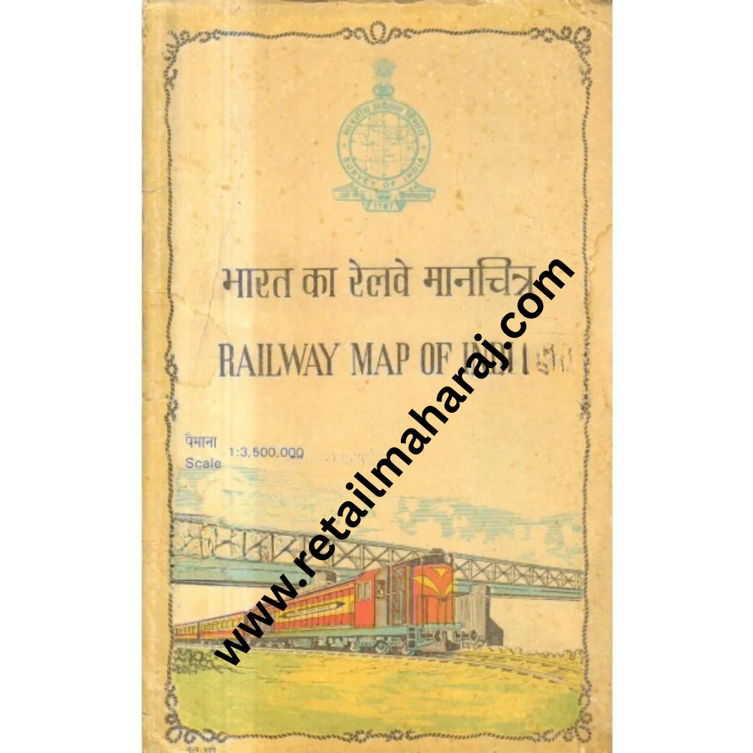
Railway Map of India
Railway Map of India
Book Details
• Publisher: Surveyor General of India
• Language: English
• Published Year: 1997
• Dimensions: 26 x 15 cm
• Size: 3 ft 6 in (Approx.)
• Book Condition: Used – Good
• Condition Note: Map is in good condition
• Availability: In Stock
About the Book
This official Map of India published by the Surveyor General of India provides a detailed geographical representation of the country. Produced by India’s national mapping authority, the map reflects accurate cartographic information and serves as a reliable reference for understanding the country’s physical and administrative layout.
The map typically includes important geographical features such as states and union territories, major cities, rivers, mountain ranges, transportation routes, and national boundaries. Such maps are widely used for educational purposes, travel planning, geographic study, and general reference.
Survey of India publications are known for their precision and authority in cartography. This map represents the long-standing tradition of scientific mapping and geographic documentation carried out by the Survey of India.
It is useful for students, researchers, travelers, educators, and anyone interested in the geographical structure and administrative divisions of India.
Original: $5.86
-70%$5.86
$1.76Product Information
Product Information
Shipping & Returns
Shipping & Returns
Description
Book Details
• Publisher: Surveyor General of India
• Language: English
• Published Year: 1997
• Dimensions: 26 x 15 cm
• Size: 3 ft 6 in (Approx.)
• Book Condition: Used – Good
• Condition Note: Map is in good condition
• Availability: In Stock
About the Book
This official Map of India published by the Surveyor General of India provides a detailed geographical representation of the country. Produced by India’s national mapping authority, the map reflects accurate cartographic information and serves as a reliable reference for understanding the country’s physical and administrative layout.
The map typically includes important geographical features such as states and union territories, major cities, rivers, mountain ranges, transportation routes, and national boundaries. Such maps are widely used for educational purposes, travel planning, geographic study, and general reference.
Survey of India publications are known for their precision and authority in cartography. This map represents the long-standing tradition of scientific mapping and geographic documentation carried out by the Survey of India.
It is useful for students, researchers, travelers, educators, and anyone interested in the geographical structure and administrative divisions of India.